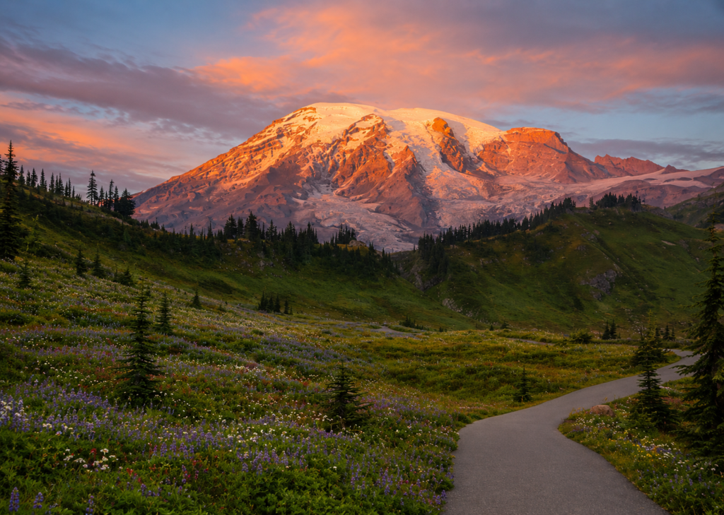
In 1885, the wife of a local guide named James Longmire hiked up into these meadows for the first time and reportedly said exactly one thing: “Oh, what a paradise.” Her companion agreed, the name stuck, and 140 years later it’s still what shows up on the trail signs, the visitor center, and every map of this part of Mount Rainier. Not every place name has that clean a origin story. This one apparently does.
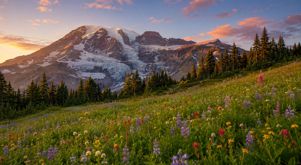
What you’re signing up for
NPS lists this as a 5.5-mile loop with about 1,700 feet of gain, though you’ll see other numbers floating around depending on which exact combination of side trails someone counted, some reports run closer to 6 miles and 1,900 feet. Either way, budget 3.5 to 4.5 hours, and go clockwise if you want the mountain’s face in front of you the whole climb instead of at your back. Counterclockwise is gentler underfoot for the same total elevation, since you’re covering the gain over more distance instead of less, but you spend more of the climb looking away from Rainier, which feels like a strange choice to make on purpose.
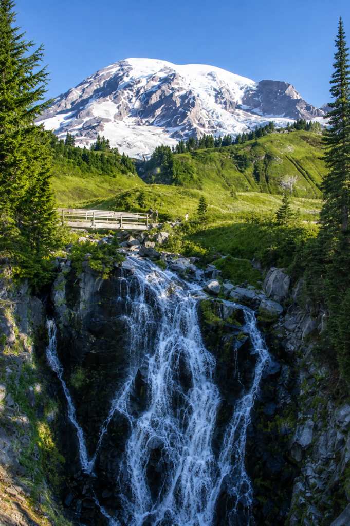
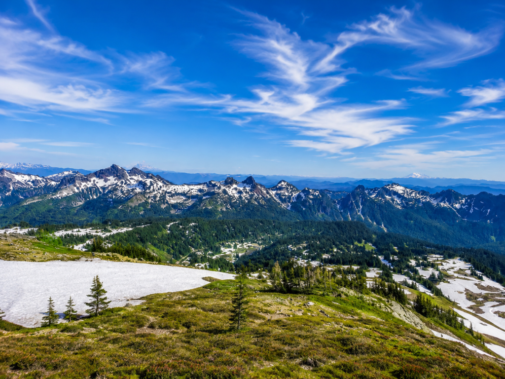
The trail starts right at Paradise, marked by stone steps carved with a line from John Muir, who climbed this mountain himself in 1888 and apparently liked it enough to leave something behind in writing. Half a mile in you hit Myrtle Falls, worth the short detour down to the viewpoint. From there it’s wildflower meadows, actual snowfields you’ll probably still be crossing even in July, and a steady climb up to Panorama Point, sitting around 6,800 feet with views that reach Mount Adams, Mount St. Helens, and on a genuinely clear day, Mount Hood, all from one spot.
The bench that marks where two men almost died getting famous
About 1.75 miles along the east side of the loop, there’s a stone bench that doesn’t look like much until you read what’s carved into it. This is the Stevens-Van Trump Monument, marking the campsite Hazard Stevens and P.B. Van Trump used before making the first documented ascent of Mount Rainier on August 17, 1870. A Native guide named Sluiskin led them up to this point and then refused to go further, reportedly convinced the mountain would kill them and he’d be blamed for it. He wasn’t entirely wrong to worry. Van Trump was seriously injured on the descent, and the two men survived a night stranded near the summit before making it back down to find Sluiskin still waiting, apparently stunned they’d returned alive at all. The Mountaineers and the Mazamas, two mountaineering clubs, erected the bench in 1924, shaped so hikers sitting on it look straight at the route the two men climbed. Worth noting, since it rarely gets mentioned on the sign: there are older oral accounts suggesting Indigenous people may have reached the summit long before 1870. Stevens and Van Trump were simply the first ones who wrote it down.
Practical stuff
No permit needed for the hike itself, but Mount Rainier runs a timed entry vehicle reservation for the Paradise area during peak summer months in recent years, on top of the regular park entrance fee, so check current NPS requirements before you drive up expecting to just park. Dogs aren’t allowed on any trail in the park, full stop. There’s a pit toilet at Panorama Point, summer only. Snow lingers at this elevation nine months out of twelve most years, so outside of roughly July through September you’re likely hiking on packed snow rather than dirt, sometimes needing traction devices even in what still counts as summer at lower elevations elsewhere. Marmots and pikas are common enough along the upper sections that you’ll probably hear one before you see it, a sharp little alarm-whistle coming from somewhere in the rocks.
Clockwise or counterclockwise, and did you get lucky with a clear enough day to spot Mount Hood from Panorama Point? Tell us what you saw. 👇