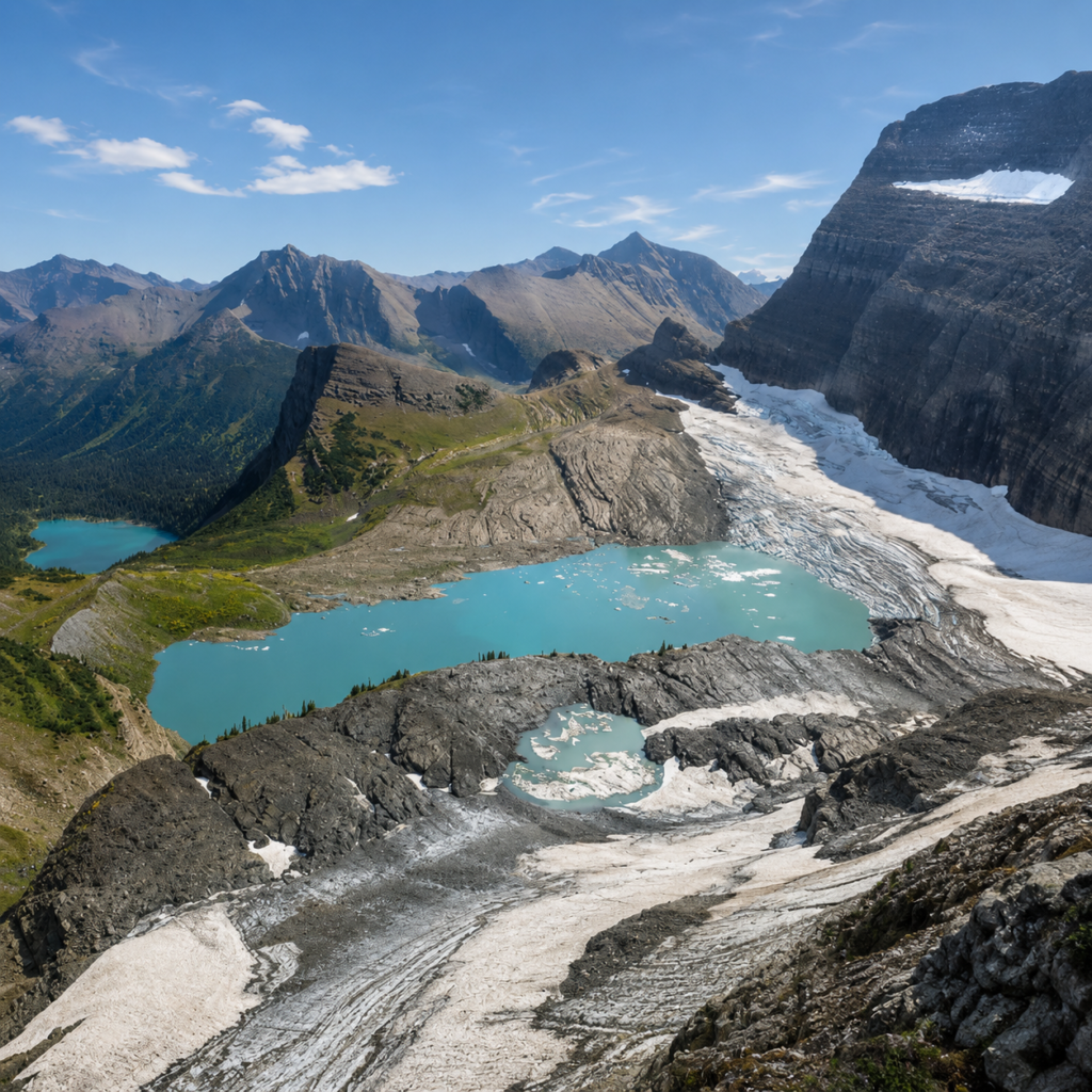
The man this glacier is named after never got to see how little of it would be left. George Bird Grinnell first explored this valley in 1885, spent the next twenty-five years lobbying Congress to protect it, and finally got Glacier National Park established in 1910. Historians now call him the father of American conservation, arguably more influential on that front than John Muir or Roosevelt, though he’s less famous than either. He co-founded the Audubon Society. He named this whole region “the Crown of the Continent.” He also, without knowing it, gave his name to something that was already starting to shrink the moment he found it.
What you’re walking to see
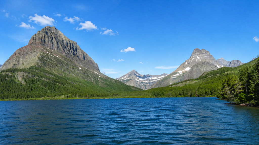
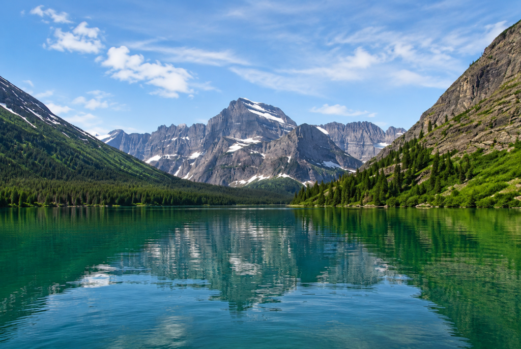
10.6 miles round trip from the Grinnell Glacier Trailhead, about 1,600 feet of gain, rated strenuous mostly for the distance and exposure rather than technical difficulty. You can cut it to 7.2 miles by taking two boat shuttles, first across Swiftcurrent Lake, then Lake Josephine, shaving off roughly 3.4 miles of relatively flat lakeside walking. The elevation gain stays about the same either way, since the climbing happens in the same upper section regardless of how you got to the base of it. Boat tickets need booking well in advance through Glacier Park Boat Company, they sell out.
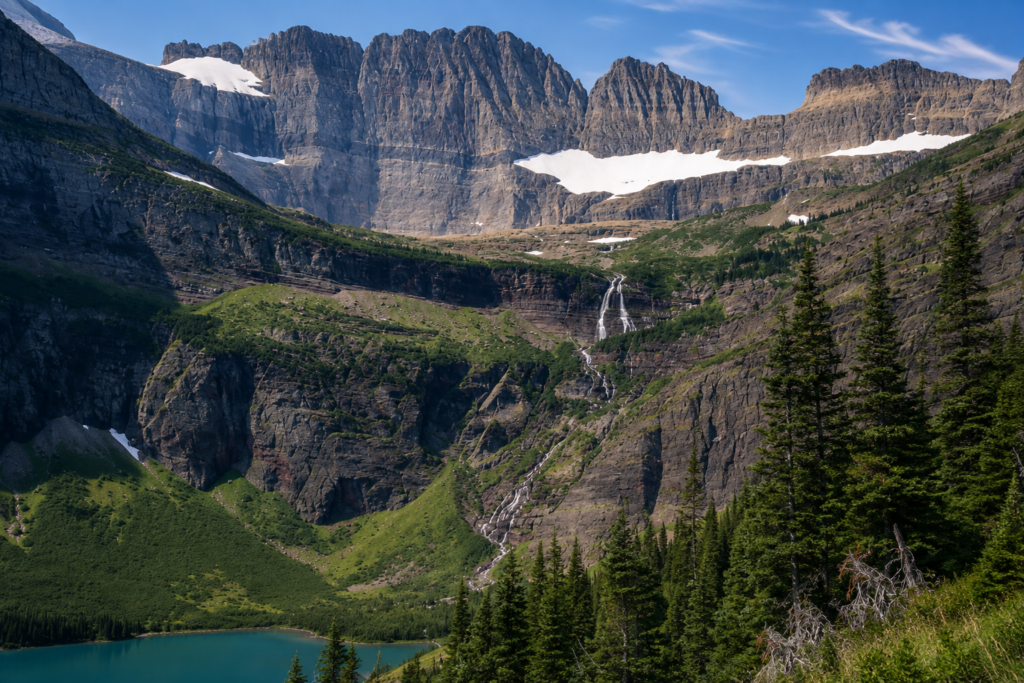
The trail itself is genuinely scenic the whole way, not just at the destination. You’ll pass Grinnell Lake from above, turquoise water fed by glacial silt, with Grinnell Falls dropping down the headwall behind it. Hikers nickname one stretch of alpine meadow the “Sound of Music” section, for reasons that become obvious the moment you’re standing in it with wildflowers up to your knees. The final push climbs a rocky, exposed traverse cut into the mountainside before leveling out at Upper Grinnell Lake, right at the foot of the glacier.
The numbers that make this different from every other trail we’ve written about
Grinnell Glacier covered roughly 530 acres in 1900. By 1966 that had dropped to around 298 acres. USGS surveys documented another 113-acre loss between 1966 and 2015. The lake you’re standing next to at the end of this hike, Upper Grinnell Lake, didn’t exist when Grinnell first came through this valley. It formed in the 1920s and 30s as the ice retreated far enough to leave meltwater pooling in front of it, and it’s been growing ever since, often dotted with small icebergs that calve directly off what’s left of the glacier. USGS has been photographing this exact view from the summit of Mount Gould since 1997, same angle, repeated over decades, and the comparison images are stark enough that you don’t need a caption to understand what you’re looking at.
This isn’t a hike to a static landmark. It’s a hike to a measurement.
Before you go
Snow can linger on the upper trail well into summer some years, so late June through September is the realistic window, and even then check current conditions before you commit. The Many Glacier area now requires a vehicle reservation during peak season, roughly July 1 through late September, on top of the standard park entrance fee, book ahead through Recreation.gov. This is serious grizzly country, arguably some of the most active bear habitat in the park, carry bear spray, know how to use it, and hike in a group making noise on blind corners. No dogs allowed. Trekking poles help on the exposed switchbacks near the top, and this stretch has essentially no shade, so sun protection matters more than the elevation might suggest.
Did you take the boat or walk the whole lakeshore, and how different did the glacier look from what you expected? Tell us honestly, we’re curious how it’s changed even in the last few seasons. 👇