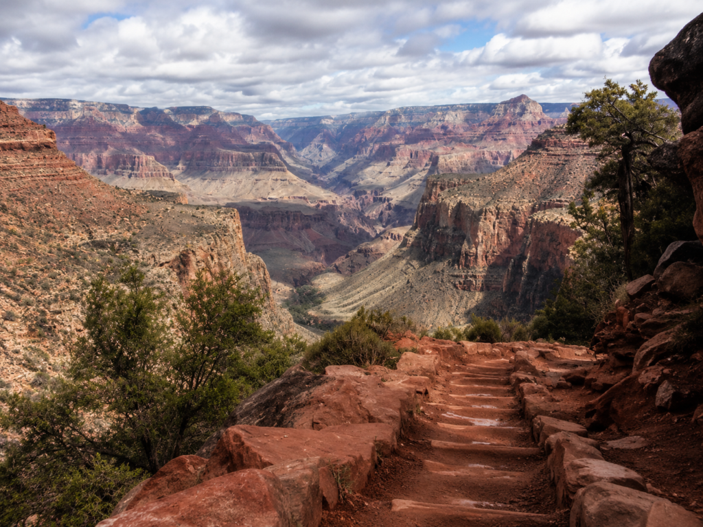
Bright Angel gets called the “easy” trail at Grand Canyon because it has resthouses, water, and shade, but it is definitely not easy. It’s just less brutal than the alternatives. People die on this trail every year from heat, not from falling off anything, just from walking downhill in 110 degree heat and thinking the walk back up would somehow be the same effort in reverse. It isn’t.
Where it actually goes
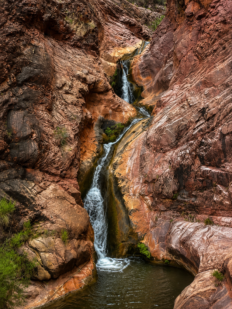
Trailhead sits at 6,860 feet, right in Grand Canyon Village. First resthouse, Mile-and-a-Half, at 5,729 feet. Three-Mile Resthouse after that, 4,748 feet. Then Havasupai Gardens at 4.5 miles, 3,800 feet, which is where most day hikers turn around and honestly where most day hikers should turn around. Keep going and you hit River Resthouse at 7.7 miles, then Bright Angel Campground at 9.5 miles, sitting at 2,480 feet next to the Colorado River. That’s about 4,380 feet of elevation loss one way, all of which you get to climb back.
Water at the resthouses only runs May through October, and even then the pipeline that feeds it comes all the way from Roaring Springs on the North Rim and breaks more often than you’d like. Don’t plan your trip around water being there. Carry your own and treat the resthouse taps as a bonus, not a guarantee.
Who actually built this thing
Havasupai people used this route for generations before any of this had a name, heading down to a spring the trail now passes called Garden Creek. Then in 1890 and ’91, a guy named Ralph Cameron and his brother, working with a partner named Pete Berry, widened it into something wagons and mules could use, filed mining claims on about 13,000 acres around it, and started charging a dollar a head to walk down it. A dollar doesn’t sound like much now, but that was real money in 1901, and Cameron kept collecting it for over two decades while fighting off the railroad, the county, and eventually the federal government in court. The Park Service finally forced the toll to end in 1928 when the trail was handed over to them. The NPS built South Kaibab Trail a few years earlier partly just to give mule trains a way around Cameron’s gate. In the 1930s, Civilian Conservation Corps crews rebuilt most of the trail into the graded, four-foot-wide path you’re walking today.
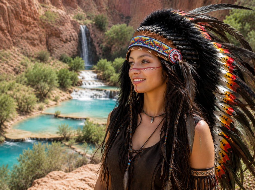
There’s also a harder part of this history that’s worth knowing. Havasupai families lived seasonally at what’s now Havasupai Gardens for a long time. In 1903 Roosevelt ordered them out, and by 1928 the Park Service had pushed the last of them off the land entirely. The rename from Indian Garden to Havasupai Gardens in recent years is at least an acknowledgment of that.
The heat problem, seriously
Summer highs here regularly sit over 100 degrees, and because you start at the rim and descend, it just gets hotter the further you go, which is backwards from what your body expects. The Park Service has a blunt official warning about this trail specifically: don’t hike to the river and back in one day. People try it anyway every summer and some of them end up needing a helicopter evacuation, or worse. If you’re doing this as a day hike in summer, Havasupai Gardens is a smart turnaround point, not a consolation prize.
Plateau Point, if you want more than Havasupai Gardens but aren’t doing the river
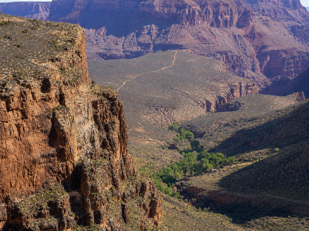
This is a side trail off Havasupai Gardens, adds up to about 12 miles round trip and 3,080 feet of total elevation change from the rim. No water, no toilets out there. The Park Service actually recommends checking in with a ranger before you attempt it as a day hike, which tells you something. Good views of the inner gorge and the river below, but don’t underestimate it just because it’s not the full river trip.
What we’d actually tell you
Start early, earlier than feels necessary. Bring more water than you think, and salty snacks, because you’ll be losing electrolytes fast in that heat, especially on the climb back out. If you’ve got the option, hike a shoulder season month instead of peak summer, the trail doesn’t get meaningfully easier but the risk of heat illness drops a lot.
And remember that whatever pace got you down feels nothing like the pace you’ll have coming back up. Budget real time for that climb, more than you think you need.
Been down to Havasupai Gardens or further? What got you to turn around, heat, time, or just legs? Let us know in the comments. 👇