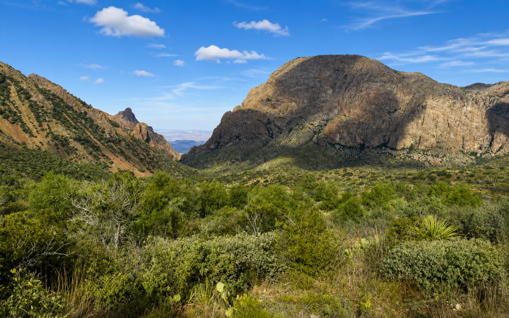
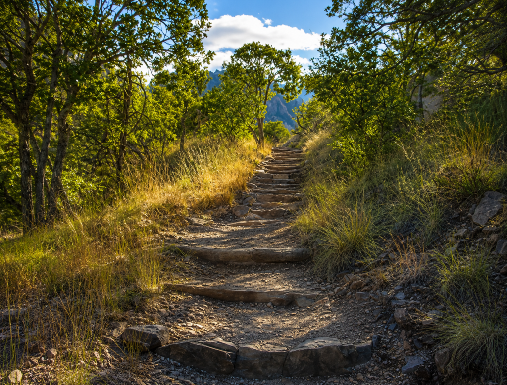
Big Bend is the only national park in the country that contains an entire mountain range inside its boundaries, start to finish, and this short loop is the easiest way to get a feel for it without committing to a full day. Under 2 miles, about 300 feet of gain, rated moderate, and it starts right at the visitor center, no driving to a separate trailhead required.
What you’re actually walking through
The loop links the first stretches of the Pinnacles Trail and the Laguna Meadows Trail into one circuit through oak and pine forest, with regular breaks in the trees giving you views of Emory Peak (the range’s high point at 7,825 feet), Casa Grande, and The Window, the V-shaped notch in the rim that Chisos Basin is famous for. It’s rocky underfoot, wear real shoes, but there’s more shade here than almost anywhere else in the park, which matters a lot in a place where most of the landscape offers none.
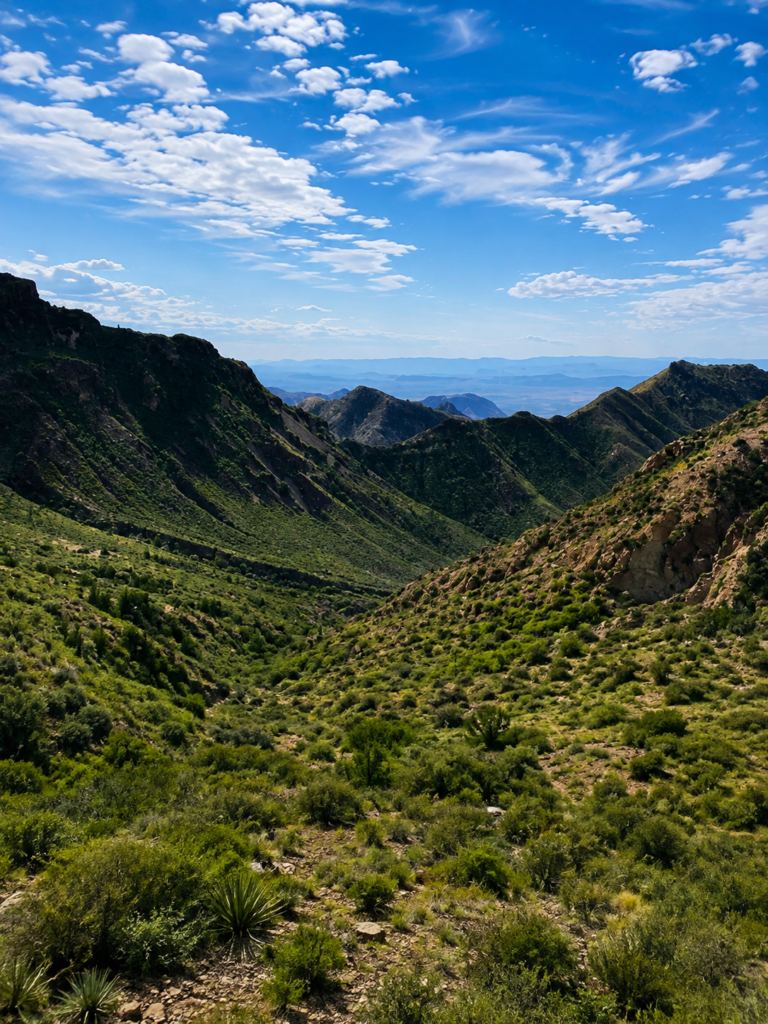
Keep an eye out. The Chisos Mountains function as what ecologists call a “sky island,” a cooler, wetter pocket of forest surrounded by desert on all sides, and it pulls in close to 200 bird species either as residents or migratory stopovers. Deer are common. Javelina show up regularly. Black bears live in these mountains too, though you’re more likely to hear about a sighting than have one yourself on a short loop like this.
Nobody actually agrees on what “Chisos” means
This is one of the more honest naming stories we’ve come across. Some sources say Chisos comes from a word meaning “ghost” or “spirit,” tied to a legend about the ghost of Apache Chief Alsate haunting these mountains after his death. Others trace it to hechizos, Spanish for “enchantments” or “bewitchments.” Still others say it simply refers to the Chisos, a group of hunter-gatherers the Spanish recorded living in this region around 1500, later displaced or absorbed by Mescalero Apache who used these mountains as a base for raids into Mexico through the 1700s and 1800s. Historians genuinely aren’t certain which explanation is correct, and after a while that stops feeling like a gap in the record and starts feeling like the honest answer: this range has been named and renamed by enough different people over enough centuries that no single origin story survived cleanly.
How the mountains themselves got here
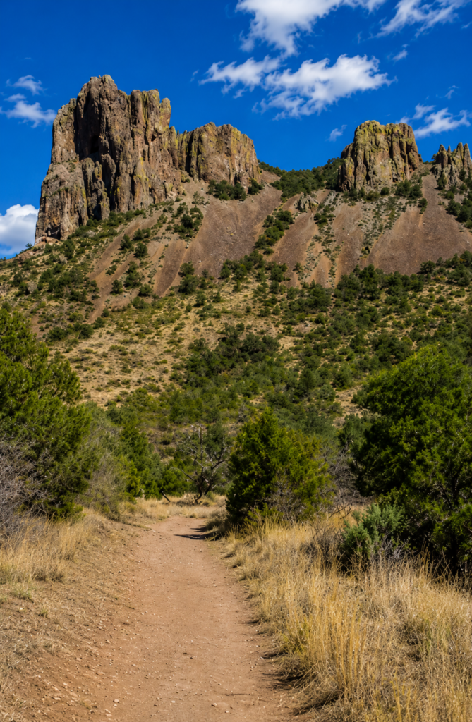
Everything you’re walking around was once volcanic. Somewhere between 17 and 38 million years ago, depending which geological estimate you use, this area erupted repeatedly, and peaks like Emory and Casa Grande may have started as actual volcanic vents, spewing ash, gas, and lava. Elsewhere, thick lava oozed up through fissures too slowly to erupt violently and hardened into rounded lava domes instead. Millions of years of erosion since then wore the whole complex down and partially filled the basin you’re standing in with sediment, leaving the jagged, eroded shapes visible today. You’re hiking inside what’s essentially the worn-down remains of an ancient volcanic field.
Before you go
No dogs anywhere in the park, no exceptions. There’s limited shade in a few stretches despite the tree cover elsewhere, so even a short hike like this deserves sun protection and water. Summer in the Basin runs noticeably cooler than the desert floor below, but “cooler” in Big Bend in July still means genuinely hot, so early mornings are the better call most of the year. If this loop leaves you wanting more elevation, both the Pinnacles Trail and Laguna Meadows Trail keep climbing well beyond where this loop turns back.
Spotted any wildlife on your walk, or was it just you and the birds? Tell us what you saw. 👇