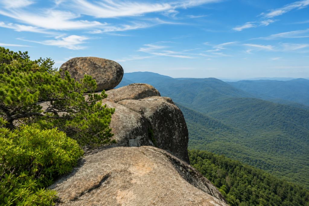
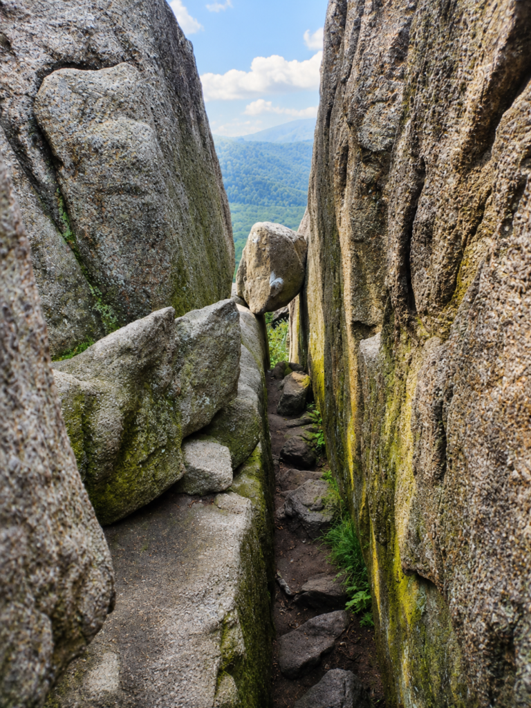
Old Rag doesn’t hide what it is. NPS rates this hike “Very Strenuous,” which is the top of their scale, and gives exact numbers instead of vague warnings: 9.4 miles, 2,348 feet of elevation gain, 6 to 10 hours depending on how you move through the rock scramble. That scramble is the whole reason people drive out here. For roughly a mile near the summit, the trail stops being a trail and becomes a genuine boulder problem, squeezing through gaps, hauling yourself over granite slabs the size of cars, using both hands as much as your legs. Bring gloves. Your palms will thank you.
The part that surprises first-timers: you need a ticket
Since 2022, hiking Old Rag between March 1 and November 30 requires a $2 day-use ticket bought in advance through Recreation.gov, on top of the regular park entrance fee. Only 800 go out per day, released in two batches, 30 days ahead and 5 days ahead, and they don’t always last long. Show up without one during ticket season and you legally cannot hike the loop. This started as a pilot program after the trail’s popularity began wearing down the mountain faster than it could recover, and it’s stuck around because it worked. December through February, no ticket needed, though you’re trading crowds for genuinely dangerous ice on the scramble.
What’s under your hands during that scramble
The granite you’re climbing on is called Old Rag Granite, and it’s about 1.1 billion years old, roughly a quarter of the age of the Earth itself. It formed when tectonic plates collided to raise an ancient mountain range called the Grenville Mountains, long before anything resembling the Blue Ridge existed, long before there was an Atlantic Ocean, long before there was complex life on land at all. The boulders are so resistant to erosion that where they do crack, water gets into the fissures, freezes, and slowly wedges them apart, sometimes leaving gaps of ten feet between chunks of rock that used to be one piece. You’re not climbing on old rock. You’re climbing on some of the oldest rock exposed anywhere on the East Coast.
The valley the trail walks through used to have a name and people in it
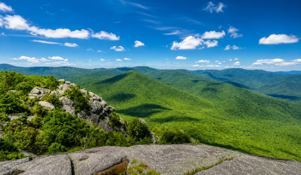
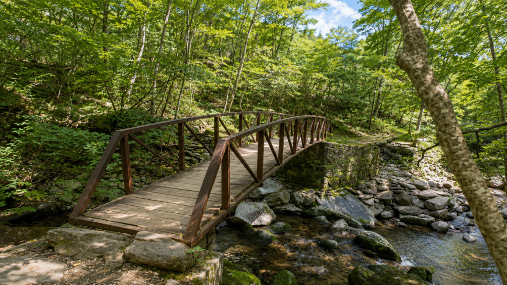
Part of the loop follows Weakley Hollow Fire Road, and Weakley Hollow was a real place before it was a road name, a valley settled in the 1770s that once had homes, a post office, a school, and mills. When Virginia moved to create Shenandoah National Park in the late 1920s and early 1930s, the state used a blanket condemnation law to acquire the land in bulk rather than fighting thousands of individual property owners in court. At least 500 families across the whole park were displaced in the process, Weakley Hollow among them. Some left under pressure. Some fought it through legal channels and lost anyway. The government and press of the era often described these mountain communities in unflattering, dismissive terms to help justify removing them, characterizations historians have since pushed back on. The hollow is quiet now, mostly forest reclaiming old home sites, and you walk straight through what used to be someone’s actual neighborhood on your way back to the parking lot.
Before you go
No dogs, pets are prohibited on the Ridge, Saddle, Old Rag Access, and Ridge Access trails, meaning essentially the whole loop. Cell service is unreliable to nonexistent once you’re on the mountain, download offline maps before you leave home. Bring at least two liters of water per person and real food, this regularly takes longer than people expect. Skip it entirely if rain or ice is any possibility, wet granite on that scramble is how most serious injuries here happen. No camping above 2,800 feet and none at the summit at all.
Did you get a ticket on your first try, or did you have to keep refreshing Recreation.gov like everyone else? Tell us how long it took. 👇