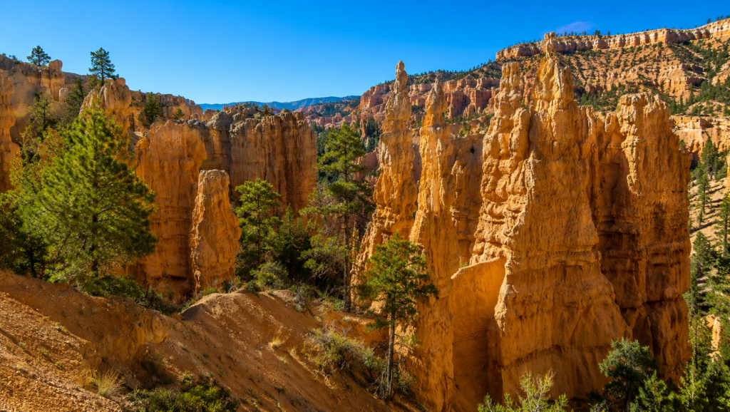
Everyone photographs Navajo Loop and Queen’s Garden. Fewer people even know Fairyland Point exists, mostly because the park shuttle doesn’t stop there, you have to drive the extra mile yourself. That single logistical detail keeps this trail noticeably quieter than the hoodoo trails clustered around the main amphitheater, despite covering some of the same geology and arguably better views.
The shape of it
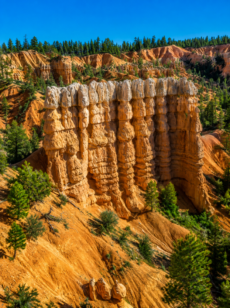
About 8 miles round trip, roughly 1,900 feet of elevation gain per the park’s own numbers, though you’ll see other trackers report anywhere from 1,320 to over 2,300 feet depending on exactly how they measured the ups and downs, this trail rolls more than it climbs steadily, so total gain estimates vary more than usual. Budget 4 to 5 hours. NPS recommends going counterclockwise from Fairyland Point, dropping down through Fairyland Canyon first, climbing back up through Campbell Canyon, and finishing on a shorter, gentler stretch of the Rim Trail. Do it that direction. Front-loading the descent means you’re not finishing your day on the steepest section.
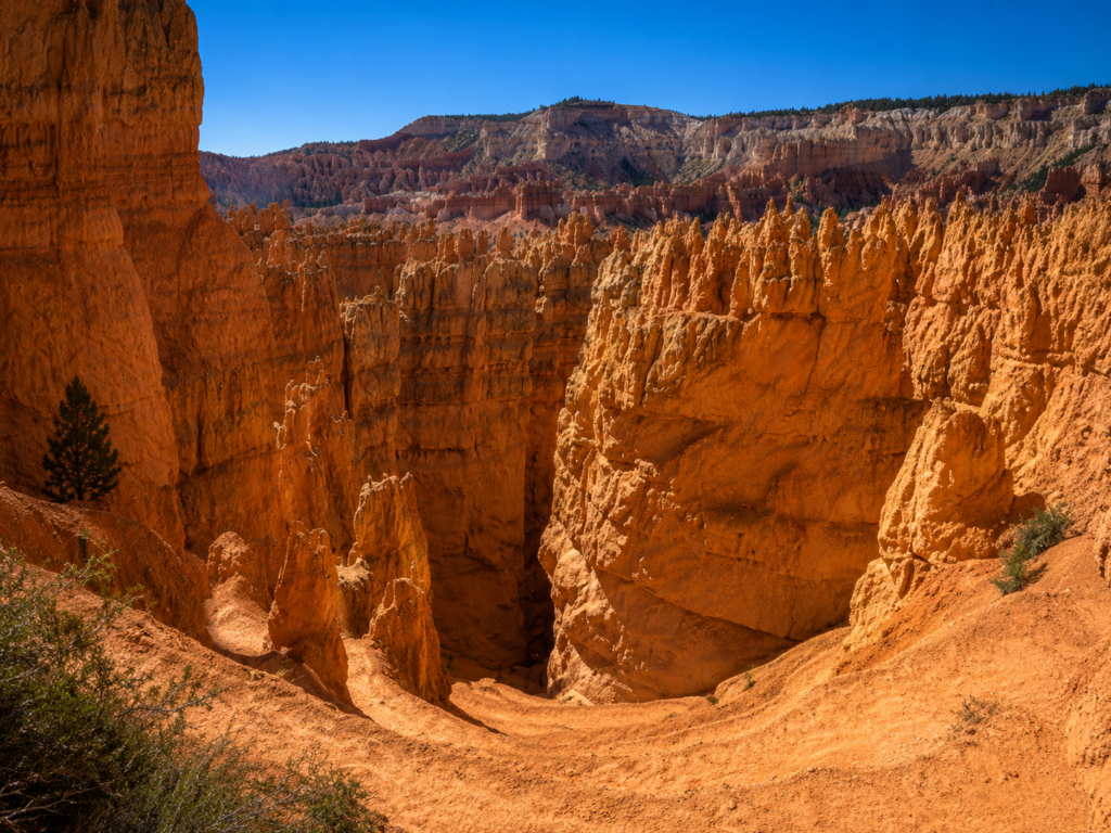
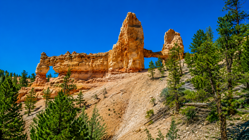
The trail passes beneath Boat Mesa early on, then winds through hoodoos that geologists note are actually younger than the ones further south in the main amphitheater, which is part of why the shapes here look a little different, less worn down, sharper edges in places. Tower Bridge, a natural rock span flanked by two spires, sits on a short spur worth the detour. Further along, the Chinese Wall, a long sculpted fin pocked with small window-like openings, runs alongside the trail for a good stretch. If you’re short on time, hiking out to Tower Bridge and back from Fairyland Point is a legitimate shorter version, under 3 miles round trip, and it hits a lot of the same scenery without committing to the full loop.
The guy who put this canyon on a map, not the guy it’s named after
Ebenezer Bryce got his name on the park, but he didn’t build the road to see it. That was Reuben Syrett, a rancher everyone called Ruby, who moved his family to the area in 1916 with no idea the canyon nearby was worth visiting until locals mentioned it. He drove out, was apparently floored by what he saw, and built a small lodge called Tourist Rest so other people could see it too, years before there was a national park here at all, or a paved road, or a fee station. His family’s name is still on the property just outside the park entrance today, Ruby’s Inn. Ebenezer Bryce owned the land and grazed cattle through it. Ruby Syrett is the reason strangers started showing up to look at it instead of just herd through it.
One number worth sitting with
The rock making up these hoodoos erodes at roughly 2 to 4 feet every hundred years, worn down by the same freeze-thaw cycle that shaped Navajo Loop’s formations a few miles south. That sounds slow standing at the rim, and it is, on a human timescale. On a geologic one, it means every hoodoo you’re looking at is actively, measurably disappearing, and the whole amphitheater will look meaningfully different in ten thousand years, let alone a hundred thousand. You’re not looking at a finished sculpture. You’re looking at one still being carved, mid-stroke.
Before you go
Fairyland Road closes seasonally in winter, so outside of summer and fall, start this loop from Sunrise Point instead and adjust the mileage slightly. No dogs on the trail below the rim. No water source anywhere on the route, carry everything you’ll need, and this trail has notably less shade than some of Bryce’s other options. Trail junctions can be genuinely confusing among all the similar-looking hoodoos, pay attention to signage rather than assuming you remember the way back.
Counterclockwise like the park suggests, or did you do it the harder way by accident like some of us have? Tell us in the comments. 👇