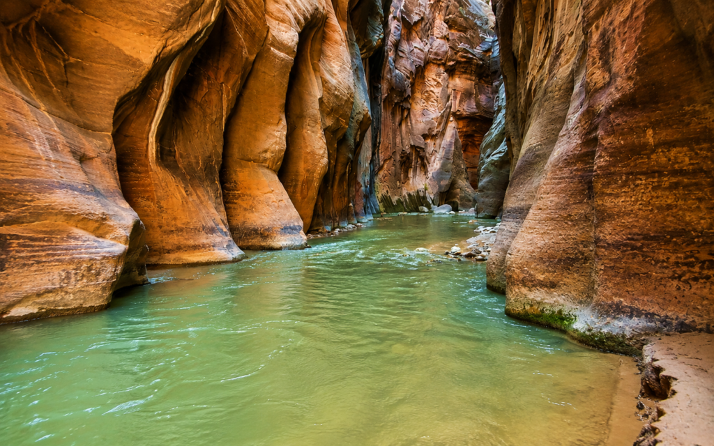
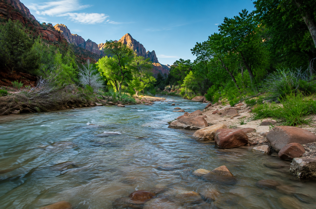
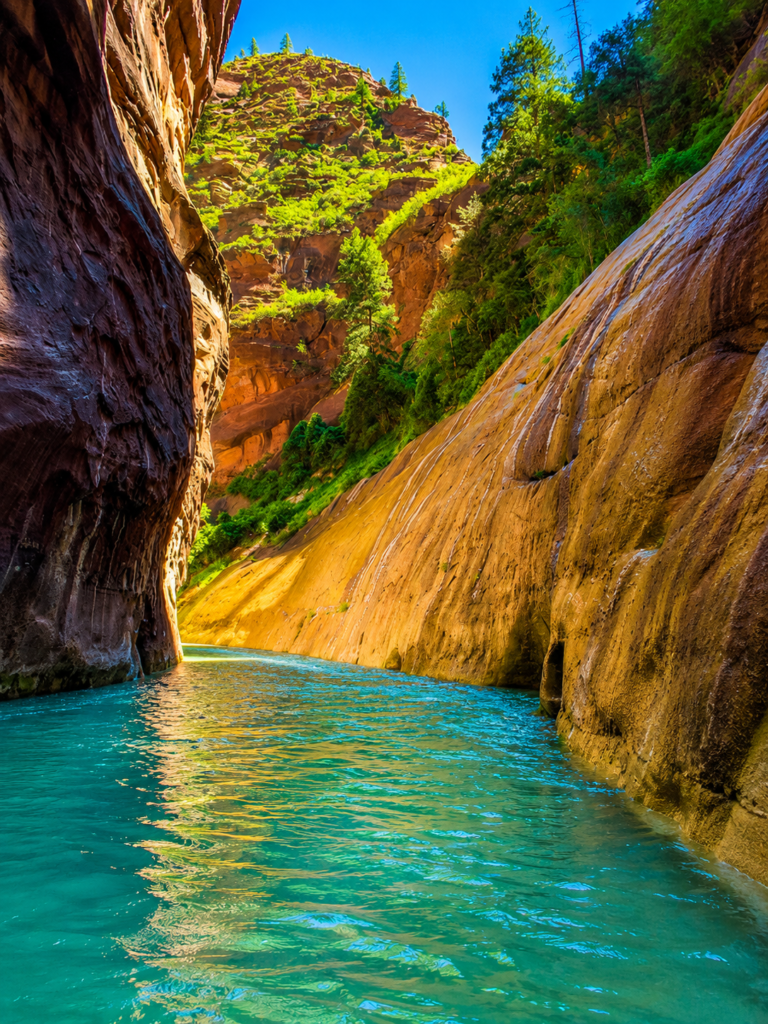
There’s no dirt path here. Past the paved Riverside Walk, the trail is the river. You’re walking in the Virgin River itself, wading through knee-to-waist-deep water for most of the distance, between sandstone walls that climb up to 1,000 feet and pinch down to as narrow as 20 feet apart in places. It’s one of the most photographed hikes in America and also one of the most dangerous, and both of those things are true for the same reason: this canyon is spectacular specifically because water carved it, and water can still fill it fast enough to kill you.
How far you go is genuinely your choice
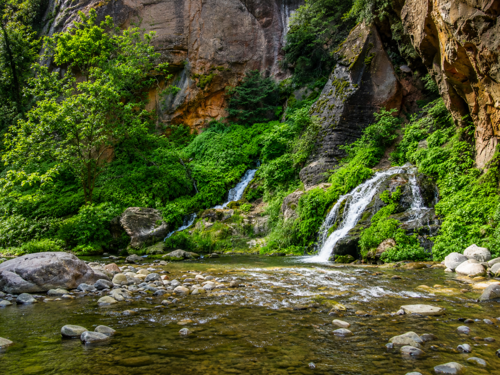
Most people do this as a day hike from the bottom, starting at Temple of Sinawava, walking the paved mile-long Riverside Walk, then continuing into the river itself. NPS caps this route at 9.4 miles round trip with only 334 feet of elevation change, no permit required, and you decide your own turnaround point, fifteen minutes in the water is a completely legitimate way to experience this hike. Big Spring, about 5 miles up, marks the point where day hikers without a permit are supposed to turn around.
The other version is a completely different undertaking: 16 miles one-way from Chamberlain’s Ranch outside the park down to Temple of Sinawava, through the deepest, narrowest sections of the canyon, requiring a wilderness permit that sells out within minutes of release, self-arranged transportation to a trailhead outside the park, and often an overnight stay at one of a dozen designated campsites. This is the version canyoneers talk about. It’s not a casual outing.
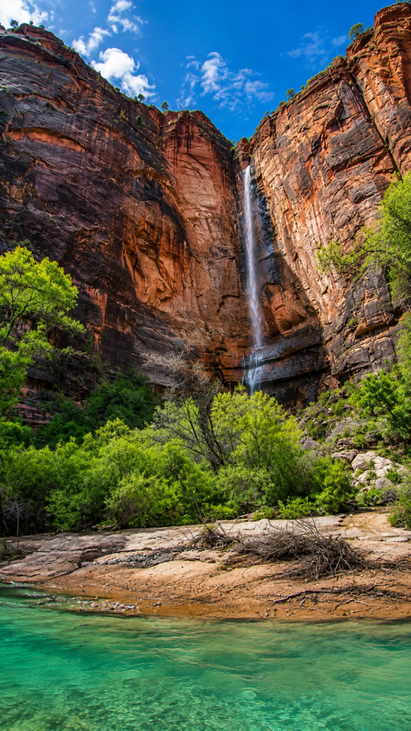
Why the water is the actual danger, not the walking
Flash floods have killed people here more than once, and not as some abstract historical footnote, this keeps happening. Four Boy Scouts and their troop leader died in the Narrows in 1961. Two hikers drowned here in 1998. A hiker named Douglas Yoshi Vo died trying to escape rising water in 2014. In August 2022, a 29-year-old hiker named Jetal Agnihotri was swept away when a summer storm sent the river’s flow from a normal level to over 1,100 cubic feet per second in under an hour; rangers found several other hikers who’d been knocked off their feet before her body was eventually located miles downstream. The park closes the entire route preemptively at any real chance of rain, and the top-down route shuts down completely once flow exceeds 120 cubic feet per second. None of this is overcaution. A storm miles upstream, one you might never see or feel where you’re standing, can turn this canyon into a wall of water with almost no warning.
Check the flash flood forecast at the visitor center or online before you go, every single time, not just when the sky looks questionable.
The canyon carries an older name too
Before Mormon settlers called this Zion, it was known as Mukuntuweap, generally translated as “straight canyon,” a name the surveyor John Wesley Powell recorded from Southern Paiute usage when he passed through in 1872. When President Taft made it a national monument in 1909, Mukuntuweap was the official name on the paperwork. It didn’t last. Visitors and park officials found it hard to pronounce and spell, and by 1918 the monument was renamed Zion, then upgraded to a national park a year later. The name Zion itself traces back to a Mormon settler named Isaac Behunin, who built a cabin near what’s now Zion Lodge in 1863 and reportedly said something to the effect that these cliffs were natural temples, that a person could worship God here as well as in any church. The name he used for that feeling stuck. The one that came before it mostly didn’t.
Before you go
Water shoes or closed-toe canyoneering shoes, not sandals, the riverbed is uneven and slick with algae in places. A walking stick helps more than it looks like it should for balance against current. Water temperature stays cold even in summer, wetsuits or neoprene socks are common gear for anyone going beyond the first mile or two, especially outside the hottest months. Dogs aren’t allowed anywhere past the Riverside Walk. Fall tends to bring the most stable weather and easier permits if you’re going top-down; spring often means the route is closed entirely from snowmelt runoff.
How far did you make it before turning around, and did you get the cold-water regret partway through? Tell us honestly. 👇