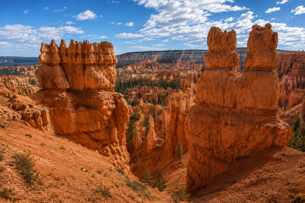
Bryce Canyon isn’t actually a canyon. It’s a series of natural amphitheaters carved into the edge of a plateau, and this loop is the fastest way to walk down into the middle of one and stand among the hoodoos instead of just looking at them from the rim. It’s short, it’s popular for a reason, and at 8,000 feet of elevation you’ll probably feel more out of breath than the distance alone should justify.
The basic shape of it
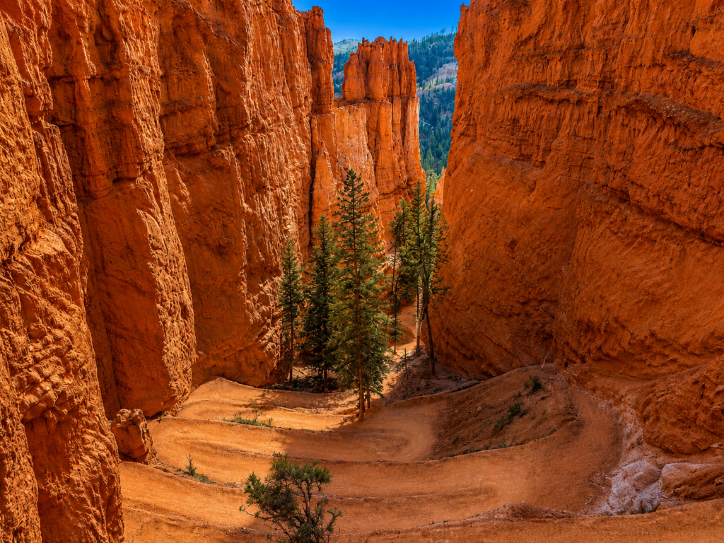
Start at Sunrise Point, descend the Queen’s Garden Trail, and you’re looking at 2.9 miles total for the full loop with about 600 feet of elevation change. Go clockwise: down Queen’s Garden, up Navajo Loop to Sunset Point, then back to Sunrise Point along the Rim Trail. This direction matters more than it sounds like it should. Queen’s Garden descends gradually along a ridge with the whole amphitheater opening up in front of you. Navajo Loop, on the other hand, climbs a set of steep, tight switchbacks that are genuinely unpleasant heading down, especially with any ice on them. Do the steep part going up. Save your knees.
Along the way you’ll pass Queen Victoria, a hoodoo that supposedly resembles the queen’s silhouette closely enough that early visitors named the whole side trail “Queen’s Garden” around her. Further along the Navajo side you’ll hit Thor’s Hammer, probably the single most photographed hoodoo in the park, and Two Bridges, a set of natural rock spans over a side canyon. One stretch of the Navajo Loop threads through Wall Street, a narrow slot lined by towering walls, though this section closes periodically for rockslide repair, so check current conditions before you count on walking through it.
What you’re actually walking through
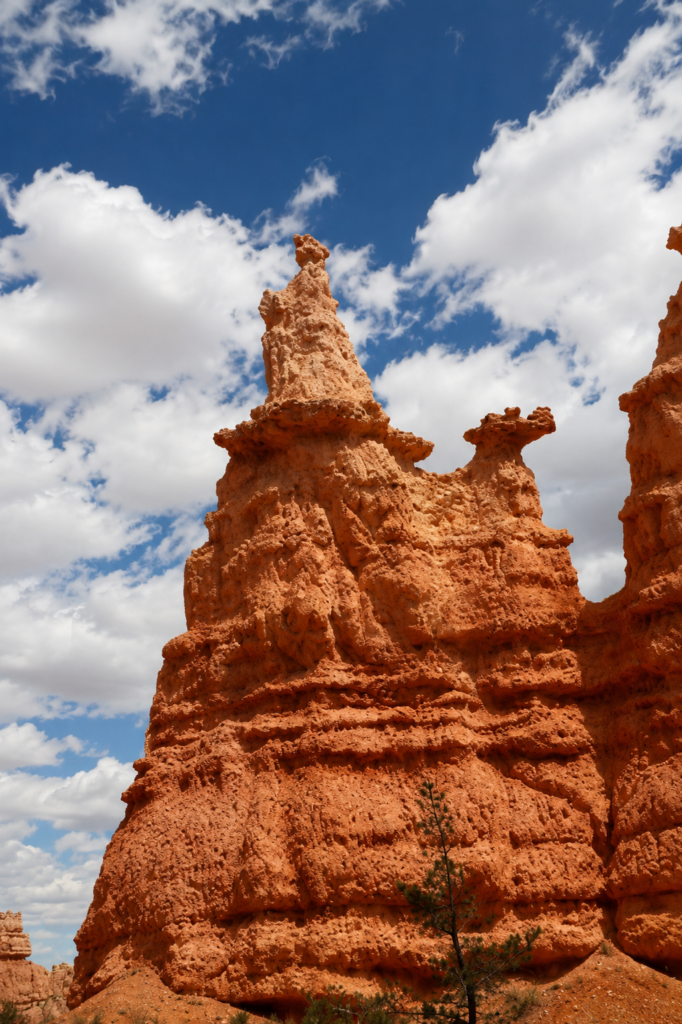
The rock is the Claron Formation, laid down as lakebed sediment somewhere between 50 and 60 million years ago, back when this part of Utah sat under shallow water instead of standing 8,000 feet in the air. The Colorado Plateau lifted the whole thing up 10 to 15 million years ago, cracking the rock into vertical joints as it rose. From there it’s mostly ice doing the sculpting: this rim gets over 170 nights a year that swing above and below freezing, and water seeping into those cracks expands about 9% every time it turns to ice overnight, prying the rock apart bit by bit. Slightly acidic rainwater does the rest, dissolving and rounding the edges. Different layers of the Claron Formation erode at different rates, which is the actual reason hoodoos end up top-heavy and lumpy instead of just wearing down into smooth slopes like everything else.
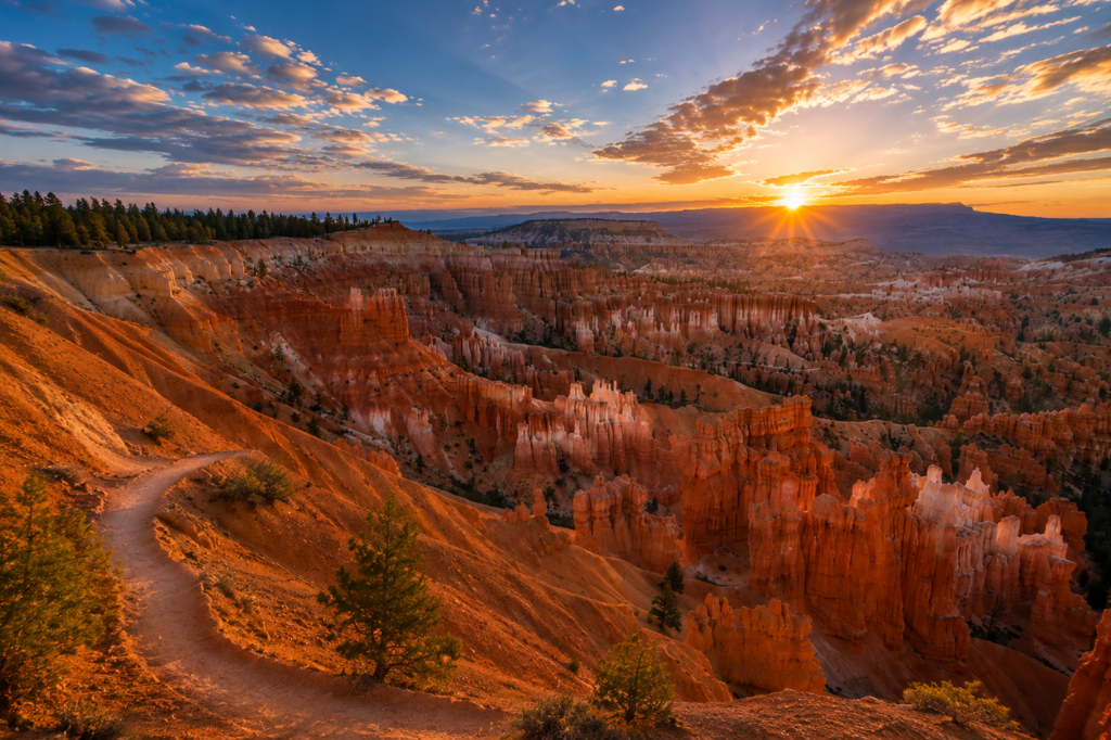
The Southern Paiute people who lived in this region had their own explanation, and it’s a better story than the geology, honestly. According to an account recorded from a Paiute elder in 1936, this place was once home to the “Legend People,” beings who could take human or animal form and who angered Coyote badly enough that he turned every one of them to stone. Some are described as standing in rows, some sitting, some holding hands, their faces still painted the way they were before they froze. The Paiute name for the area, Anka-ku-was-a-wits, translates to something like “red painted faces.” Stand at Sunrise Point at actual sunrise and it’s not hard to see why that story took hold. The light does something to these rocks that makes the human-shaped ones look like they’re paying attention.
The park’s current name comes from Ebenezer Bryce, a Mormon pioneer who settled nearby in 1874 and ran cattle through the amphitheater. He’s widely quoted, though the exact sourcing is the kind of thing that’s been repeated so often it’s hard to trace to a single origin, as calling the place “a hell of a place to lose a cow.” Whether or not he said it in those exact words, anyone who’s tried to track a lost animal through a maze of hoodoos this dense would probably agree with the sentiment.
Before you go
No permit needed, dogs aren’t allowed on any trail below the rim (only on the paved Rim Trail sections and parking areas), and both Sunrise and Sunset Points have parking, though it fills early in summer, so consider the free shuttle. Bring more water than the short distance suggests, the elevation here makes easy things feel harder than they should, and there’s no water source once you’re off the rim. Winter turns the Navajo Loop switchbacks into an ice rink, worth microspikes or at minimum extreme caution if you’re doing this outside summer.
Clockwise or counterclockwise, and did you spot a hoodoo that looked like it was mid-conversation with its neighbor? Tell us in the comments. 👇